Flag Guess
Practice visual recognition so countries stop feeling like abstract names on a list.
Country flags and map quiz
GeoCapitals connects the facts that make geography memorable: what a flag looks like, where a country sits on the map, what its capital is called, and which cultural details make the place easier to remember.
Flags and capitals are easier to retain when you also connect them to regions, borders, and map shape.
Practice visual recognition so countries stop feeling like abstract names on a list.
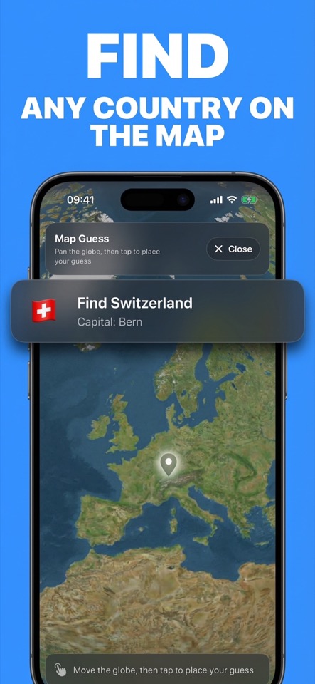
Use fast map challenges to place countries geographically and strengthen regional memory.
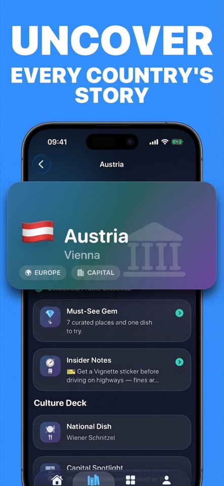
Review culture, landmarks, food, must-see places, and capital facts for a stronger memory hook.
Country stories
Country story cards make geography less mechanical by adding context alongside capitals and flags. That makes practice useful for travel curiosity, school review, and general world knowledge.
Practice flags, countries, capitals, and map placement in a single iOS geography app.