1. Divide into 10–15 country chunks
Never tackle an entire continent at once. Break Europe into the Nordics, Baltics, Balkans, and Western Europe; break Africa into North, West, East, and Southern regions.
Cartographic Learning Method
Learn countries on a world map by starting with one region, using coastlines and neighboring countries as clues, and testing yourself without labels. Review the locations you confuse before adding more countries to your next practice session.
Step-by-Step Framework
Treat the world map as a structured spatial index rather than an arbitrary collection of borders.
Never tackle an entire continent at once. Break Europe into the Nordics, Baltics, Balkans, and Western Europe; break Africa into North, West, East, and Southern regions.
Locate distinctive geographic landmarks first (e.g. the Iberian Peninsula, the Italian boot, the Horn of Africa). Use these visible anchors to position neighboring states.
Landlocked countries (like Paraguay and Bolivia in South America, or Switzerland and Austria in Europe) become simple when you memorize which coastal neighbors enclose them.
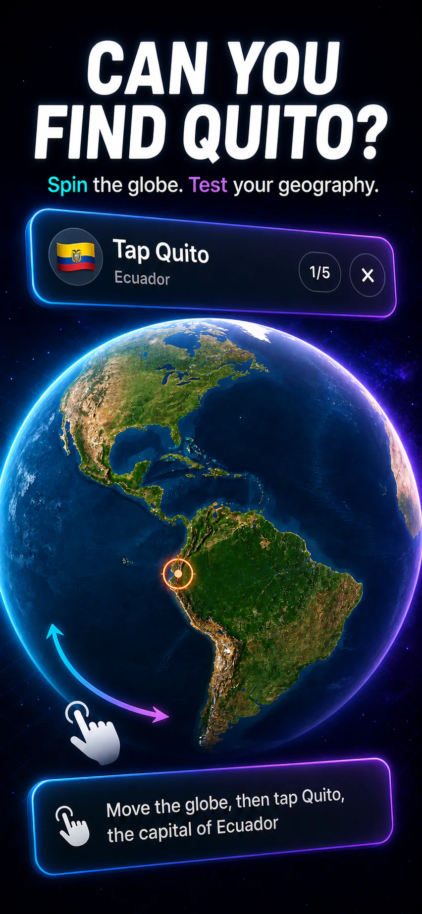
Reinforce spatial placement by pairing each country with its capital city and national flag. Multi-modal memory prevents isolated forgetting.
Common Pitfalls
Staring at a colored world atlas creates the illusion of learning, but active retrieval is required for exam recall and real-world trivia.
Recognizing a country name when it is already printed on a map does not mean you can locate it on a blank outline. Always test yourself with blank prompts.
Small island nations in the Caribbean, Pacific, and Mediterranean require intentional zoom practice. GeoCapitals highlights these microstates clearly.
Standard Mercator projections distort northern landmasses. Study countries with proportional vector projections to understand true spatial scale.

Download GeoCapitals for iPhone and iPad to practice interactive map pinpoints with adaptive review.