Boundary anchor points
Knowing that Santiago sits between the Pacific Ocean and the Andes mountain range or that Vienna lies along the Danube anchors the city in physical reality rather than abstract text.
Spatial Geography Quiz
A capital city is more than a name on an alphabetical list—it occupies a specific geopolitical and geographical position. Test your ability to identify world capitals using spatial and regional clues, with instant feedback and zero display ads.
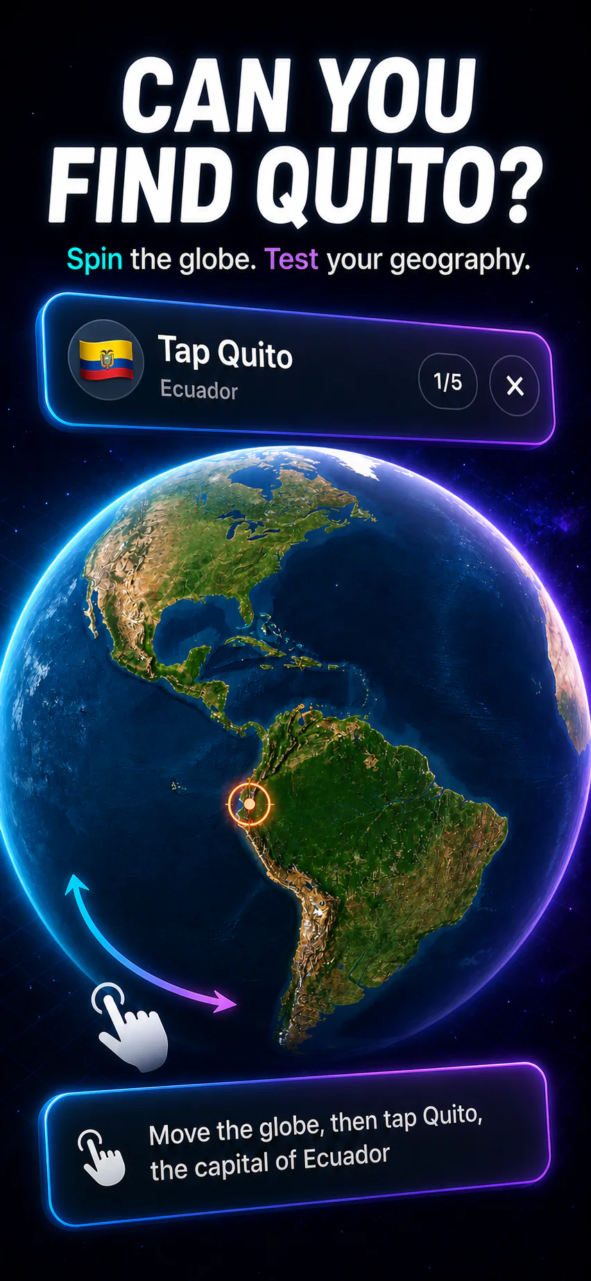
Interactive Round
Read the spatial clue, choose the correct sovereign capital, and receive instant feedback.
Spatial Learning
Connecting city names to physical boundaries creates deep mental models of the world.
Knowing that Santiago sits between the Pacific Ocean and the Andes mountain range or that Vienna lies along the Danube anchors the city in physical reality rather than abstract text.
Group nations by geographical landforms: the Scandinavian Peninsula, the Iberian Peninsula, the Horn of Africa, the Gulf of Guinea, the Indochinese Peninsula, or the Great Lakes region.
Distinguish sea ports and coastal capitals (Dakar, Muscat, Tokyo, Manila) from purposely built interior capitals designed for national neutrality (Brasília, Canberra, Naypyidaw, Abuja).
Master island capitals in the Caribbean, Indian Ocean, and South Pacific (Port Louis, Suva, Castries, Nassau) by linking them to their surrounding archipelagos.
Common questions about spatial study strategies, map accuracy, and mobile learning.
Pairing a capital city's name with its country's location on a map activates spatial cognitive memory, making the name far more resilient to forgetting than learning text lists.
Studying coastal capitals (such as Oslo, Tokyo, Lisbon, Buenos Aires) separately from central inland capitals (such as Madrid, Brasília, Bern, Canberra) creates strong geographical reference points across continents.
Yes. GeoCapitals features dedicated map quiz modes where you pinpoint countries and capitals on interactive vector maps on iPhone and iPad.
Spatial retrieval forces your brain to reconstruct neighboring borders, bodies of water, and continental position, providing multiple retrieval routes when answering questions under time pressure.
GeoCapitals gives you interactive vector maps, country atlas cards, and adaptive review loops with zero ads.